Vienan reitti
Vienan reitti, also known as The Vuokin reitti Vienaan, is a 27 km long, renovated and guided hiking trail in Suomussalmi, Kainuu. The trail is located in Near the village of Vuokki and the eastern border, crossing varied terrain through forests, marshes and ridges, following an ancient route that has been used for centuries.
Guidance on the Vienan reitti
The signpost and departure point of the Vienan reitti are located at the junction of Kuhmontie and Hepola-Pehkolantie. Hepola-Pehkolantie 1, Suomussalmi. Coordinates: 64° 43.9154′, 29° 38.1787′
Steps on the trail:
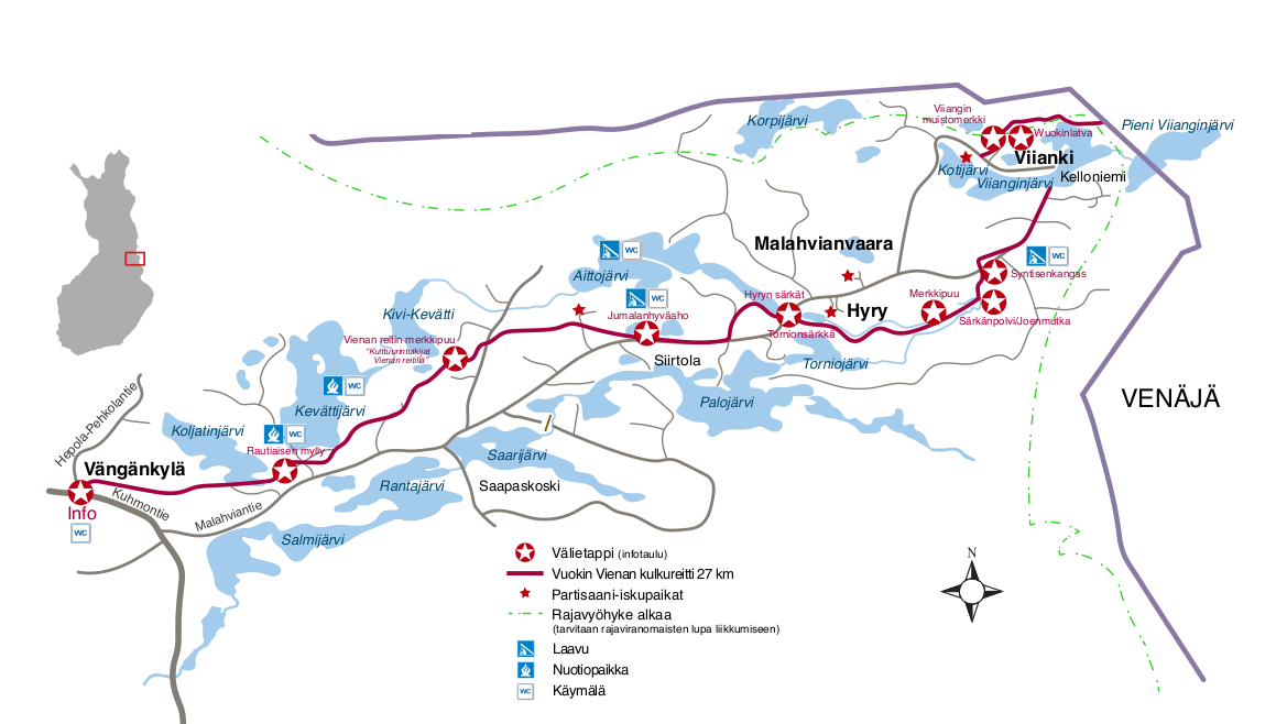
- Vängänvaara-Rautiaisen mylly 4 km
- The route follows a varied terrain along old forest paths towards the historic Rautiaisen mylly, a working water mill.
- Rautiaisen mylly-Jumalanhyväahon laavu, 9 km
- On this longer section, the route is on varied terrain, in farm forest and along forest roads. Along the way, you can see the Vienan reitti landmark tree and stop for a break at the Jumalanhyväaho lodge.
- Jumalanhyväahon laavu-Malahviantie-Tornionsärkkä start (also called Hyry's Särkkä) approx. 3 km
- The shorter section takes you along a forest path to the Malahviantie road, from where you reach the beginning of Hyryn särkkä, or Tornionsärkkä - an impressive ridge area.
- Tornionsärkkä-Särkänpolvi, 5 km
- This ridge section offers some of the finest views on the route and a variety of wildlife. The route follows a narrow ridge and is one of the scenic highlights of the route.
- Särkänpolvi-Malahviantie road approx. 0,5 km
- A short transition section leading back to the Malahviantie road and acting as a gateway to the final stages. You can take a break at the Särkänpolvi lodge.
- Malahviantie-Viiankijärvi beach approx. 2,5 km. (the stage goes back and forth)
- This side walk takes you to a quiet lakeside spot where you can rest and enjoy the peace and quiet of nature before returning to the main road.
- End of the route, Viianki village, about 5 km by car
- The hike ends in the idyllic village of Viianki, where you will be transferred by car. In the village you can explore the Wuokinlatva border crossing and the village's impressive military history.
Waterways
The Vienan reitti includes several natural waterways, offering a variety of paddling opportunities for both experienced paddlers and those who enjoy a peaceful excursion. Porrasjoki and Isojoki. The combination is a varied route, where paddlers will encounter both rapids and idyllic stretches of meadow. It is particularly suited to more experienced paddlers who appreciate the technical challenge and beautiful scenery of the route. Välijoki ja Aittojoki in turn, offer a low and peaceful kayaking route through a quiet landscape of marshes and lakes. Aittojärvi route well suited to the beginner paddler. The routes are not subject to strong currents and are well suited to hiking and nature observation.
River Porrasjoki - River Isojoki
You can reach the Porrasjoki river from Malahviantie road, next to the bridge. The river initially flows into Porraslampi lake and offers a route best suited to experienced paddlers. There are two rapids to pass along the way. There are steep bumps at the first rapids, so it is advisable to choose a landing point above the rapids. The Myllykoski is rocky and then the river goes under a bridge; the landing is easier from the flat banks. Both rapids are best passed from the right bank. After the rapids, the route becomes a calm and meandering meadow river leading to the beautiful Särkänpolvi. From there, the trail continues along the easy-going Isojoki river to lake Torniojärvi. From the southern shore of the lake, you can pull a canoe onto the forest road and return along the eastern border hiking trail to the Malahviantie road.
River Välijoki - River Aittojoki
The river Välijoki, which starts from Joenniskanlahti in lake Kevättijärvi, is a shallow and calm waterway suitable for leisurely paddling. From the river you can continue to lake Kivi-Kevätti and further along the river Aittojoki to lake Aittojärvi. There are no rapids along the way, but in places the river is covered with aquatic vegetation and is rocky, especially at low water. There is a fish gate and a bridge to pass at the start of the middle river. The route can be terminated before lake Aittojärvi at the forest road at lake Kaartojärvi, where a suitable landing place can be found.
Aittojärvi waterway
The route starts From the Porrasjoki bridge on the Malahviantie road, from where we paddle towards Kapeasalmi and on to the beautiful Lake Aittojärvi. Lake Aittojärvi is a two-part lake area that offers shelter from gusty winds - especially in the shelter of a narrow isthmus.
In the middle of the narrow isthmus lies Keräsensalmi hut - an excellent place to stop for a picnic. Up to 27 ancient trapping pits have been located on the Isthmus, and the Eastern Frontiers hiking trail also runs through the area.
Trail markers in the terrain
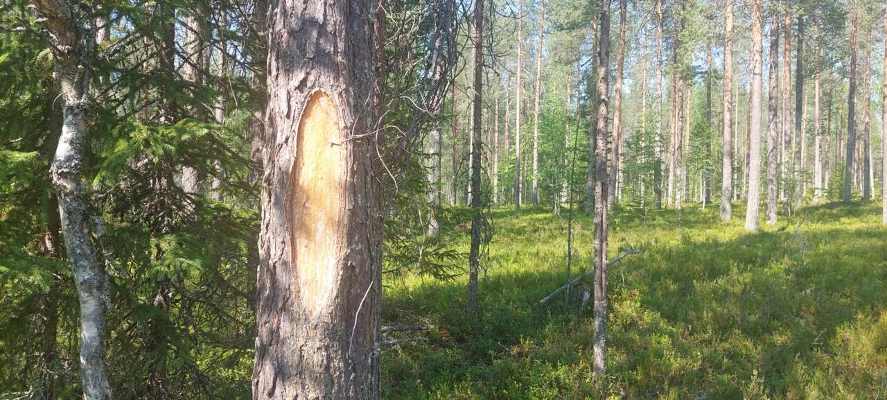
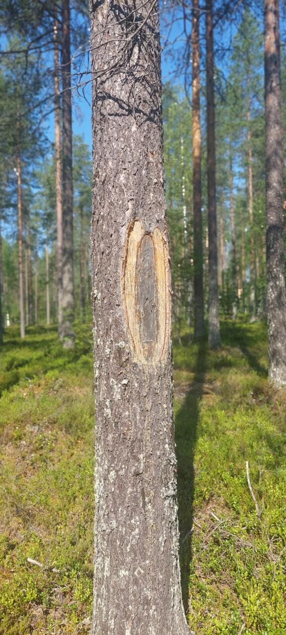
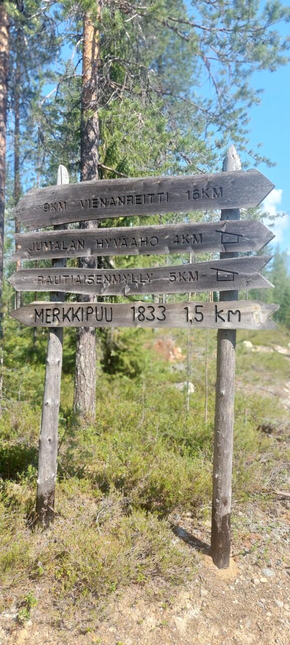
The route is marked in the terrain with a so-called double blaze, meaning marks chopped into trees with an axe. There are wooden signposts at the start of the path and at junctions. In addition, there are information boards along the route telling about the history.