Tornionsärkkä
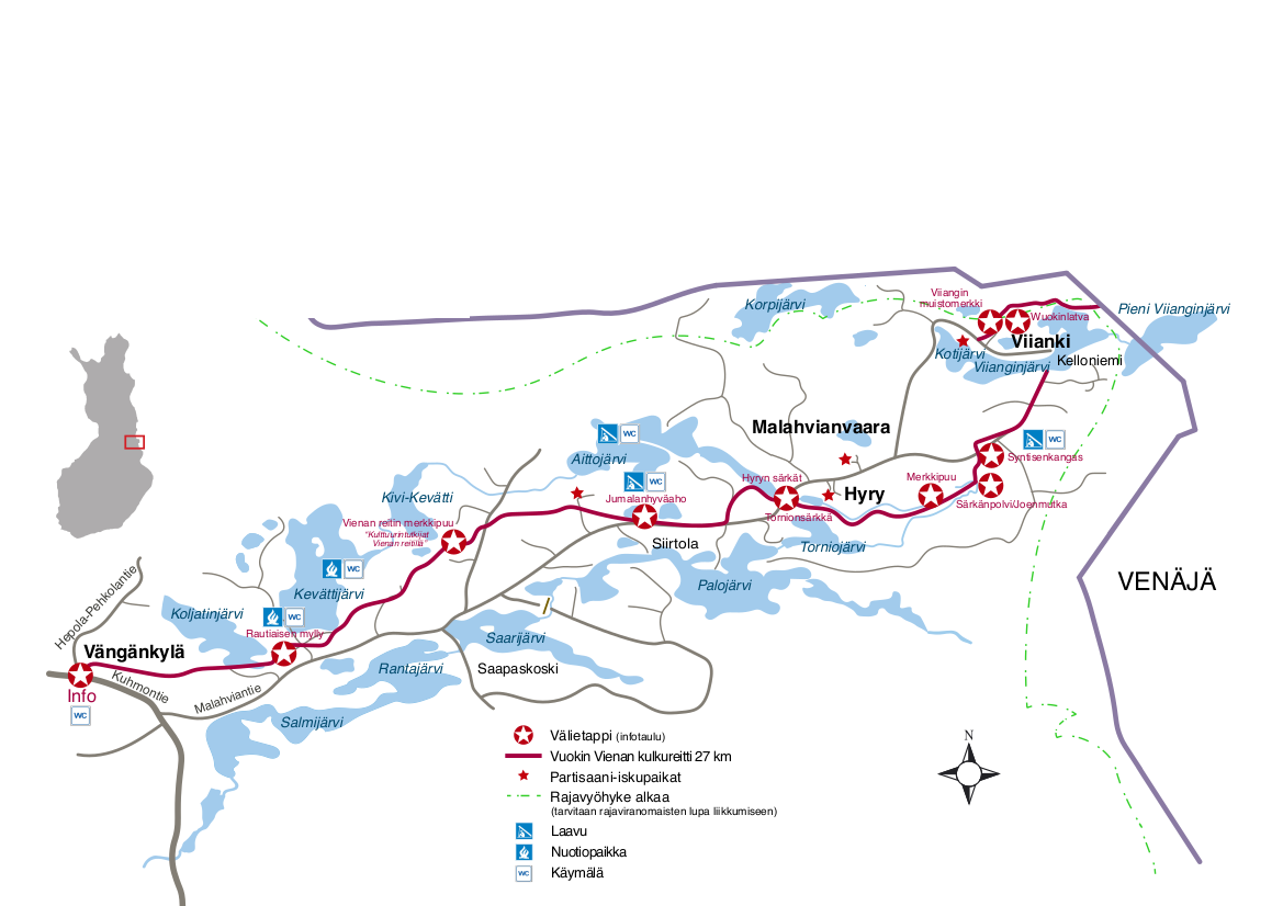
Tornionsärkkä (esker) is part of the Hyrynsärkkä ridge chain, located on the Vienan reitti, on both sides of the Malahviantie road. The area consists of long and narrow esker formations, or ridge chains, which run successively through the landscape, forming a striking whole. The Hyrynsärkkä information board and historical guide are located on Malahviantie road.
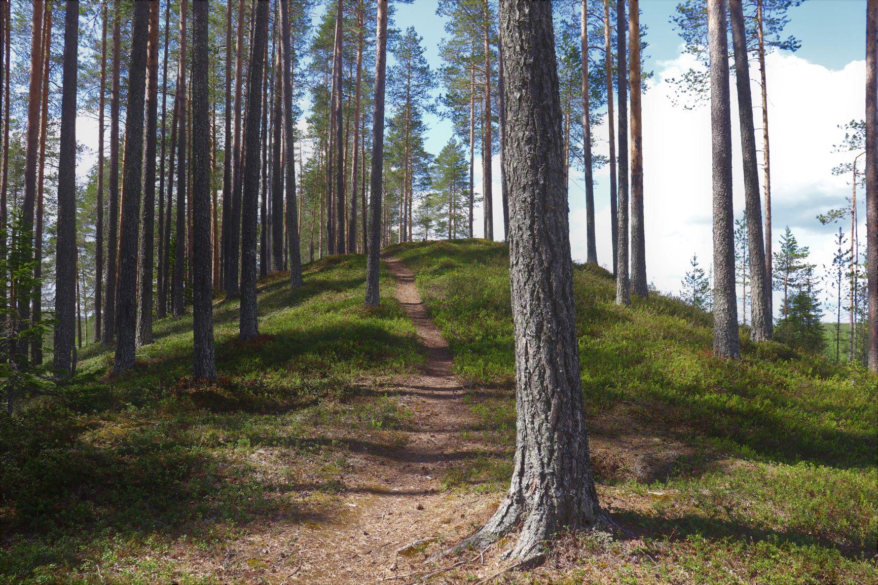
The route along the eskers offers exceptionally varied scenery. In places, the eskers are very narrow, with bogs, lakes, and forests opening up on either side. This makes for a visually impressive journey and gives a good impression of the landscape shaped by the ice age. The esker is also well-suited for mountain biking.
The area is known as one of the finest sections of the Vienan reitti. It attracts hikers particularly because of the scenery and a rare esker ridge. Near the path is Finland's oldest marked tree, dating back to 1682.
The landscape is characterised by:
- Narrow sandbanks running between lakes and ponds
- Varying views: rivers on both sides of the traveller
- Extensive areas of mire and meadow, particularly the natural meadow at Särkänpolvi, which is one of Kainuu's largest natural meadows.
- Pine heathlands and esker nature
History
Tornionsärkkä is not only a beautiful scenic route, but also part of an ancient connection between Finland and Viena Karelia. The route has been used for centuries, and its roots stretch far back into prehistoric times.
On the shore of Torniojärvi was a famous market place of the 1700s, for which a boat-hauling channel was dug across the sandbar. Memorials to partisan raids have been erected in the courtyards of Hyry and Malahvia houses, to which a walking path leads.
On both sides of the ridge, many thousands of years old hunting pits can be seen. There are many trenches at the end of the ridge. According to legend, these trenches were used as storage for salt from the Arctic Ocean, as well as a place for peddlers to spend the night.
The route also served hunters, soldiers and ballad collectors, and it formed an important connection between east and west. Today, hikers can follow the same paths and experience the layers of history amidst quiet wilderness nature.
Torniojärvi market place
The Viena route was the most important passage for Vienan peddlers for hundreds of years, travelling to Finland in autumn and back to Viena in spring. Peddling continued right up until the 1920s.
A large market was held on the shore of Torniojärvi lake, where the tenants sold tar boats to the bag merchants. With these boats, the Viena Karelians were travelling to Kajaani and Oulu, navigating 43 large rapids.
A crowd of thousands gathered in the market. Then there was revelry, dancing and games. The market place was indeed called the city of Tornio, as folklorist A. A. Borenius wrote in 1872.
The Vuokki people were known for their boat-making skills, and it was possible to sell up to 40 boats at once.
Aittojärvi
Aittojärvi is located north of the Torniosärkkä and Hyryn särkät. It is a peaceful and wild lake, with largely natural shores. The lake is part of a landscape shaped by the Ice Age, with a ridge-like isthmus running between two double lakes. The isthmus is an archaeological site, as it contains over twenty hunting pits. Today, the lake is primarily a destination for excursions. Midway along the isthmus, there is a lean-to shelter, a fireplace, and an outdoor toilet. The path leading to Aittojärvi is part of the Eastern Border hiking trail.